Imboden Live is posting current road closings on our Facebook page. We will also update this post to share them here.
7:45am 4/6/25
(Subject to change as waters recede)
UPDATE: Hwy 63 is open according to Lawrence County Deputies 9:00am
Hwy 115/117 Intersection at Jesup is still closed 9:25am 4/6/25
“Highway 63 & 63B is open between Jonesboro (Sharp Co. & Lawrence Co. Line) and Hardy. Highway 63 and Highway 62/412 is open from all areas coming into Hardy. There may be some debris on the sides of roads in some areas. Please use caution— travel is open.” – Hardy Police Chief Scott Rose.
Sunday morning April 6, 2025 rising water update for Walnut Ridge
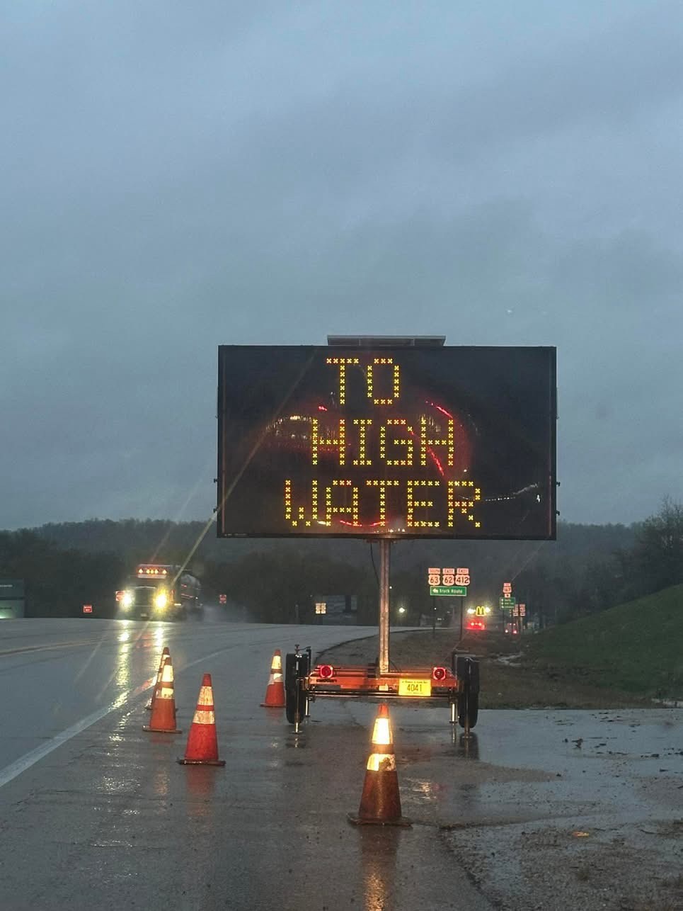
West Main Street (Highway 412) is closed just past Walmart at Coon Creek
Old Pocahontas Road by the cement plant is under water again and Hale Street that turns toward the creek is also underwater water
The last block of South Benson Drive at the curve on Ashley is underwater and will likely be closed.
Airport Road/Industrial Drive, Skil Road and Luther Bridges Road all have water issues
Note, use extreme caution and please do not visit the impacted residential areas. The last thing people with problem need is waves from you vehicle driving through high water.
April 5, 2025 6:50 PM Lawrence County OEM
State Highway 25 between Powhatan and Black Rock is now closed due to flooding.
State Highway 230 between Alicia and I-57 is being closely monitored due to floodwaters approaching the highway and may be impassable soon.
For a map of all State and US Highway Closures, visit IDrive
From the Town of Imboden
4:40 pm – AT THIS TIME THE FOLLOWING ROADS ARE IMPASSABLE AND CLOSED DUE TO HIGH WATER IN THE IMBODEN AREA.
HWY 63N
HWY 63S
LAW 201
LAW 203-S MAIN
E FIRST ST
PLECTRON DR


Hwy 63 at the Black River Bridge (Black Rock) ARDOT camera shows the Black River continuing to rise as rain continues to fall at 1:05pm…..
Hwy 63 is not passable at Ravenden and CLOSED to traffic….
Hwy 115 at Jesup is closed due to high water…
Numerous county roads are flooded, damaged or both…
Road closures are being reported all across NEA. Travel is not advised….


1:54 Arkansas State Police set the close Hwy 63 at Imboden within the hour, northbound traffic will be diverted at Black Rock…
Photos of railroad near the Spring River at 1st Street and Walnut Street in Imboden. Rising floodwaters are at the railroad tracks…..


Photos courtesy of Hi-Spec Tooling
From Randolph County Sheriff Bell …
Here’s the main roads that are closed due to flooding:
90 east
90 west at 11 point river
231 west has flood damage
Country club road
Outside the county: Hwy 63 is closed At Browns creek north of Ravenden. Traffic is being diverted down 62 through Pocahontas.
Check IDrive Arkansas app for other highways.
Please don’t call 911 for road updates.
City of Walnut Ridge…
Areas we’re watching in and around Walnut Ridge right now. Stay safe and turn around when water is over the road.
East Hazel – road covered but passable
West Main O’Reilly to Walmart – ditches filling up.
West Main at Coon Creek Bridge
67B at Village Creek Bridge
Dollar General Parking Lot
67B at Matt DR. – water on roadway in curve
Dunlop to WBU – Water may cross roadway
Airport Road – Water actively crossing roadway.
CR 434 – CLOSED
CR 438 – CLOSED
CR 429 – CLOSED
Tree on SW 6TH fell on house no injuries
UPDATE: Preparing to close Old Pocahontas Road by West Main Street.
West Main has water across the highway at Lawrence Memorial Hospital.
Intersection at West Main and 4th Street has water coming back up.
And there are reports that Midway Road has a lot of water on it.